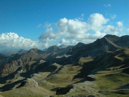
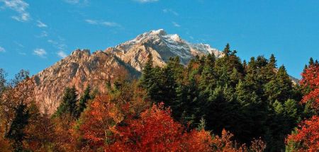
Let’s explore the mountains of Pindos that the Bike Odyssey race meets:
DOKIMI
Dokimi is an elongated mountainous mass that is the connecting link between the North and South Pindos. It is a relatively smooth group of not very high peaks since the homonymous tallest peak reaches only 1972 meters. Together with Morava (1845 m) and Hioli (1855 m), they are a trio of our most frequent mountaineering routes, with a variety of starting points at any time of the year, since they do not present any technical difficulties.
The complex is delimited northwards from Zygos' neck at 1660 meters and the Metsovitiko stream. South, the Sklinasiotiko stream and the neck “Kiatra Brasta” are the border with Trigia, while in the west is Aspropotamos River, which separates it from the Lakmos mountain range.
Dokimi has the fragile flysch as the basic background and local appearances of the ophiolites with characteristic greenish colors. This has as a result the formation of dense forests – especially beech that often reach up to the highest points, and an abundance of water that generates streams and supports livestock farming in the subalpine meadows.
TRIGIA
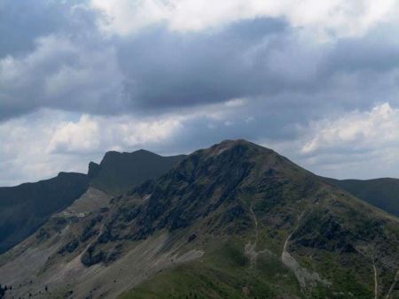 Trigia is a mountainous complex of southern Pindos in the western part of the Prefecture of Trikala. It has received its name from its homonymous higher peak (2,204 meters).
Trigia is overgrown with large fir forests, while in lower altitude there are deciduous species, such as oak, maple, and some kind of plane tree. At altitudes above 1,700 meters there are extensive alpine meadows where there is systematic grazing during the summer season. The abundant springs of Trigia feed some of the first major tributaries of the upper reaches of Acheloos, the so-called Aspropotamos. The northern and eastern slopes of the complex belong to the Pinios river basin.
On the slopes of Trigia there are the villages of Elafi, Krania and Doliana, Klinos, Kalogriani and Paleochori. At the location “Anixiatika” at an altitude of 1,450 meters, near the village of Klinos, there is a mountain shelter with a capacity of 35 people. The area has now become a popular hiking and skiing destination.
NERAIDA
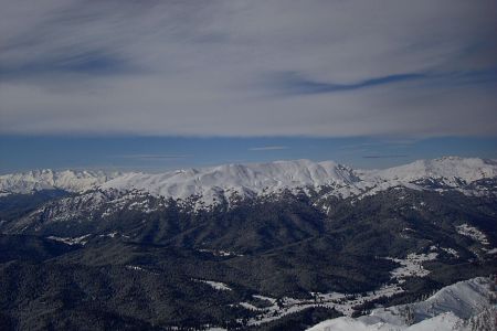 Neraida is a mountainous complex of southern Pindos in the western part of the Prefecture of Trikala. It connects to the neighboring complex of Trigia through the neck of Golemi (1,700 m). The highest peak of Neraida is Britsiana 2.144m, which is located in the middle of the mountain.
KARAVA
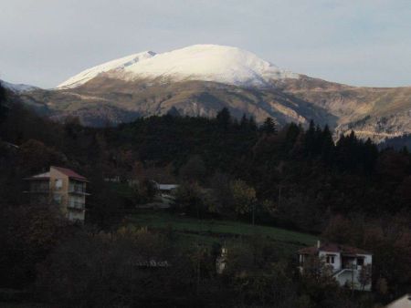 The mountain is located in the western part of the prefecture of Karditsa. It is a part of the mountain range of Agrafa and belongs to southern Pindos. It is separated from the mountain Karavoula with the plateau of Argithea, and from Voutsikaki with the neck of Kazarma. Its top is the Tympano 1.758m. and another anonymous at 1,857 meters. The altitude of the mountain reaches a height of 2,184 meters.
VARDOUSIA
Vardousia (or Korakas) is a mountain complex that includes the most southern edge of Pindos in Central Greece. It rises in the northwest of Fokida, with a small part of the mountain extending to Fthiotida. It is the second highest mountain of Roumeli after Giona, with a height of 2.495 meters.
The major bulk of Vardousia rises to the territory of the province of Dorida in the Prefecture of fOKIDA, while a small part of it to the north belongs to the prefecture of Fthiotida. Vardousia consists of three peaks, the north, the west and the south. The northern complex is characterized by smooth peaks, the west has many rugged and independent peaks, while the south, which is the highest, forms a steep and long ridge. It is one of the few mountain ranges in Greece that have alpine character. The mountain range is defined by the rivers Mornos, Evinos and Kokkinopotamos and has a rich flora. A large part of its surface is covered with spruce, oak and cedar forests, while large flocks of sheep and goats are grazed between the peaks. Many points of the mountain are suitable for mountaineering, while on the slopes of Skordes there are two mountain shelters.
The high peaks of Vardousia are Kokkinias (2.404 m), Pyramida (2.348 m), Megali Soufla (2.340 m), Plaka (2.320 m), Mountain of Chomiriani or Megali Houni (2.294 m), Alogorachi (2.265 m), Mountain of Kostaritsa (2.216 m), Kato Psilo (2.140 m), Gidovouni (2.065 m), Sinani (2.055 m) and others.
The ancient Greek name of Vardousia is Korax, a name that survives to the local population, who uses it for the highest peak.
In the years of the Greek Revolution of 1821 in Vardousia, the insurgent residents of the surrounding villages acted and were protected in the so-called “apoklistres”(mountainous caves which were used as a natural fortresses).
VELOUHI
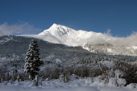 Tymfristos or Velouhi is a mountain of Sterea Hellas. It has an altitude of 2,315 meters and occupies a large part of the Prefectures of Evritania and Fthiotida. It is enclosed to the north by Agrafa, and to the south by Vardousia and Kaliakouda. To the east there is the plain of Sperchios. It is covered by dense forests and most of it is covered by fir trees. On its slopes it is built the town of Karpenissi. This is the source of the Sperchios and Karpenisiotis Rivers. Close to its peaks is formed Alpine Lake.
In antiquity, the mountain was called Tymfistos, or Tefrastos or Tyfristos. According to one version, his name is due to a homonymous mythical face. According to another version, that supported more by the variants of Tefrastos or Tyfristos, the name derives from the word ash (tefra in greek), because the naked bulk of the mountain has the color of ash. The name Velouhi is said to have appeared in the medieval period. It is met for the first time in a written text in 1453.
